
Ocean Atlas: Webinar On GIS for Marine Protection
About This Event
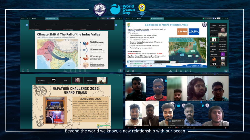
In celebration of World Ocean Day 2026, YouthMappers at Bangladesh Maritime University (BMU) successfully organized an online webinar titled “Ocean Atlas” on 15 June 2026 via Zoom, under the global theme “Strong Marine Protected Areas for Our Blue Planet.” The event aimed to foster awareness and dialogue on marine conservation, sustainable ocean governance, and the role of geospatial technologies in protecting marine ecosystems.
The webinar brought together students, researchers, academicians, and professionals from diverse disciplines to explore contemporary challenges and opportunities in marine conservation. Through expert presentations and interactive discussions, participants gained valuable insights into the importance of Marine Protected Areas (MPAs) and innovative approaches to safeguarding ocean resources in the face of growing environmental pressures.
The program featured three distinguished speakers from BMU and affiliated research institutions. Md. Ashikur Rahman, Faculty Advisor of YouthMappers at BMU and Research Officer at the Institute of Bay of Bengal and Bangladesh Studies (IBBBS), delivered a presentation on “Ecosystem-Based Marine Spatial Planning (EcoMSP) for Strengthening Marine Protected Areas in the Bay of Bengal.” His session highlighted the significance of ecosystem-based approaches in marine spatial planning and demonstrated how integrated management strategies can enhance the effectiveness of MPAs while balancing ecological, social, and economic priorities.
The keynote presentation was delivered by Md. Amit Hasan, M.Sc. Student and Research Assistant at the Department of Oceanography, BMU, Researcher at the Hydro-Climate & Ocean Center, and CCDB Climate Change Scholarship Awardee 2025. His talk, “Smart Marine Protected Areas: AI and Geospatial Intelligence for Real-Time Ocean Governance,” explored the transformative potential of artificial intelligence, remote sensing, and geospatial intelligence in monitoring marine environments and supporting data-driven decision-making for sustainable ocean governance.
The webinar also featured a presentation by Ihsanul Haque, M.Sc. Candidate in Marine Fisheries, Research Assistant at the Laboratory of MFA, and Research Intern at the National Institute of Biotechnology (NIB), BMU. His presentation, “Marine Protected Areas and Sustainable Fisheries in Bangladesh: The Role of Mapping and Spatial Science,” emphasized the importance of geographic information systems (GIS), spatial analysis, and marine mapping in promoting sustainable fisheries management and strengthening marine conservation initiatives in Bangladesh.
The event concluded with an engaging question-and-answer session, where participants interacted directly with the speakers and discussed emerging challenges, research opportunities, and technological innovations in marine conservation. The discussions underscored the critical role of interdisciplinary collaboration, scientific research, and youth engagement in advancing sustainable ocean management.
Through this initiative, YouthMappers at BMU reaffirmed its commitment to promoting geospatial education, environmental stewardship, and the achievement of the United Nations Sustainable Development Goals, particularly SDG 14: Life Below Water. The successful webinar served as a platform for knowledge exchange, capacity building, and inspiring future leaders to contribute toward the conservation and sustainable management of our oceans for generations to come.